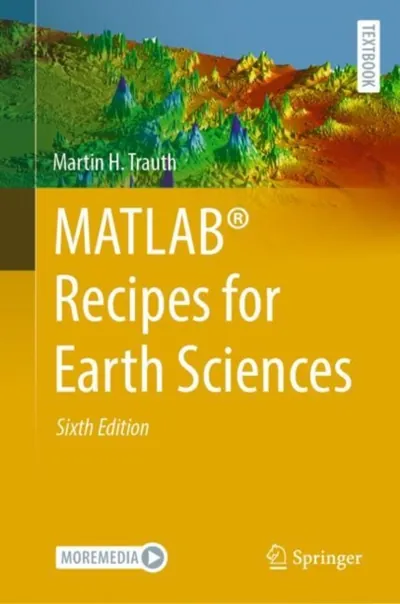
MATLAB(R) Recipes for Earth Sciences
E-book
US$151.21
About this title
MATLAB® is used in a wide range of geoscientific applications, such as for image processing in remote sensing, for generating and processing digital elevation models, and for analyzing time series. This book introduces methods of data analysis in the earth sciences using MATLAB, such as basic statistics for univariate, bivariate, and multivariate data sets, time series analysis, signal processing, spatial and directional data analysis, and image analysis. The text includes numerous examples demonstrating how MATLAB can be used on data sets from the earth sciences. The supplementary electronic material (available online through Springer Link) contains recipes that include all the MATLAB commands featured in the book and example data.
Details
- Publisher
- Springer Nature Switzerland
- Language
- EN
- Format
- EPUB
- Published
- ISBN
- 9783031579493
- File protection
- Watermark — opens on any reader, no extra account needed